
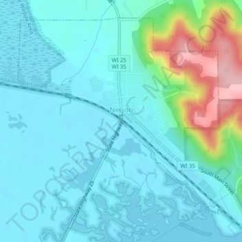
Nelson topographic map
Click on the map to display elevation.
About this map
Name: Nelson topographic map, elevation, terrain.
Location: Nelson, Buffalo County, Wisconsin, United States (44.40739 -92.02504 44.43043 -91.98873)
Average elevation: 768 ft
Minimum elevation: 656 ft
Maximum elevation: 1,263 ft
Buffalo County trails, hiking, mountain biking, running and outdoor activities
Other topographic maps
Click on a map to view its topography, its elevation and its terrain.