Geolocate

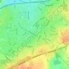
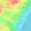
Guldborg topographic map

Click on the map to display elevation.

About this map
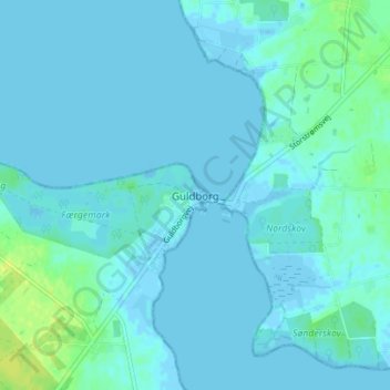
Name: Guldborg topographic map, elevation, terrain.

Location: Guldborg, Guldborgsund Municipality, Region Zealand, 4862, Denmark (54.85173 11.72471 54.89173 11.76471)

Average elevation: 10 ft

Minimum elevation: -20 ft

Maximum elevation: 49 ft

Other topographic maps

Click on a map to view its topography, its elevation and its terrain.
Lammefjorden

Denmark > Region Zealand > Gundestrup

The draining project began in 1873, but it took until 1943 before the lowest elevations were pumped dry. Large parts of the fjord were shallow enough to be dry early on. In 1899 the Odsherred Railway opened across the western end of the fjord. The town of Fårevejle Stationsby grew up where the railway…

Average elevation: 33 ft
Møns Klint

Denmark > Region Zealand

Average elevation: 121 ft

Møn

Denmark > Region Zealand

Average elevation: 13 ft

Odsherred Municipality

Denmark > Region Zealand

Average elevation: 23 ft

Slagelse

Denmark > Region Zealand > Slagelse

Average elevation: 154 ft

Havnebyen

Denmark > Region Zealand

Average elevation: 3 ft

Solrød Municipality

Denmark > Region Zealand

Average elevation: 62 ft

Gear up for your next adventure:

🔥Camping Stove - Portable stove for camping and backcountry cooking
🔥Fast-Boil Camping Stoves - Efficient cooking systems for quick trail meals
🦶Carbon Trekking Poles - Reduce knee impact on steep descents with ultra-light poles
📖Nature Tracking Books - Learn to track wildlife and terrain
🪶Multi‑Purpose Knife - Useful blade for camp and trail

As an Amazon Associate, this site earns from qualifying purchases at no extra cost to you.