Geolocate

Barry topographic map

Click on the map to display elevation.

About this map

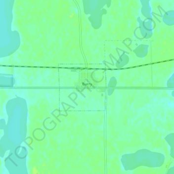
Name: Barry topographic map, elevation, terrain.

Location: Barry, Big Stone County, Minnesota, 56210, United States (45.55462 -96.56559 45.56193 -96.55500)

Average elevation: 1,109 ft

Minimum elevation: 1,089 ft

Maximum elevation: 1,122 ft

Big Stone County trails, hiking, mountain biking, running and outdoor activities

Gear up for your next adventure:

🛌Ultralight Sleeping Bags - Compact down bags for cold nights in the wilderness
🛡️Insect Repellent - Protection against bugs during outdoor activities
👟Men's Trail Runners - Lightweight footwear for fast-paced exploration and light hiking
🧤Hiking Gloves - Protective gloves for rugged trails
🚑Emergency Bivvies - Heat-reflective sleeping bags for survival situations

As an Amazon Associate, this site earns from qualifying purchases at no extra cost to you.