
Putha Uttarganga topographic map
Interactive map
Click on the map to display elevation.
About this map
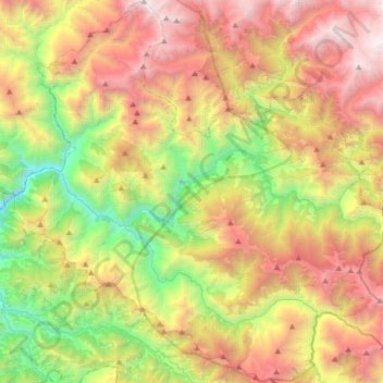
Name: Putha Uttarganga topographic map, elevation, terrain.
Location: Putha Uttarganga, Eastern Rukum, Lumbini Province, Nepal (28.51412 82.65376 28.80409 82.98586)
Average elevation: 9,511 ft
Minimum elevation: 4,094 ft
Maximum elevation: 16,198 ft