
Thank you for supporting this site ❤️
Make a donation
Make a donation
Gear up for your next adventure:
As an Amazon Associate, this site earns from qualifying purchases at no extra cost to you.
Dhandakuppam topographic map
Click on the map to display elevation.
Thank you for supporting this site ❤️
Make a donation
Make a donation
Gear up for your next adventure:
As an Amazon Associate, this site earns from qualifying purchases at no extra cost to you.
About this map
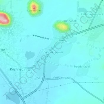
Name: Dhandakuppam topographic map, elevation, terrain.
Location: Dhandakuppam, Krishnagiri, Tamil Nadu, 635001, India (12.50550 78.21404 12.54550 78.25404)
Average elevation: 1,647 ft
Minimum elevation: 1,568 ft
Maximum elevation: 2,385 ft
Thank you for supporting this site ❤️
Make a donation
Make a donation
Gear up for your next adventure:
As an Amazon Associate, this site earns from qualifying purchases at no extra cost to you.