
Thank you for supporting this site ❤️
Make a donation
Make a donation
Gear up for your next adventure:
As an Amazon Associate, this site earns from qualifying purchases at no extra cost to you.
Kudatini topographic map
Click on the map to display elevation.
Thank you for supporting this site ❤️
Make a donation
Make a donation
Gear up for your next adventure:
As an Amazon Associate, this site earns from qualifying purchases at no extra cost to you.
About this map
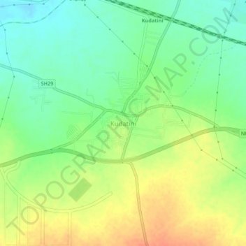
Name: Kudatini topographic map, elevation, terrain.
Location: Kudatini, Bellary taluk, Ballari, Karnataka, 583115, India (15.17687 76.73845 15.21687 76.77845)
Average elevation: 1,591 ft
Minimum elevation: 1,526 ft
Maximum elevation: 1,663 ft
Thank you for supporting this site ❤️
Make a donation
Make a donation
Gear up for your next adventure:
As an Amazon Associate, this site earns from qualifying purchases at no extra cost to you.