

Cobija topographic map
Click on the map to display elevation.
Cobija
Cuenta con una población de unos 65 000 habitantes, y está situada a orillas del río Acre, frontera con el estado brasileño de Acre, a una altitud de 228 msnm. Tiene un clima tropical y lluvioso. Es la capital departamental menos poblada del país.
About this map
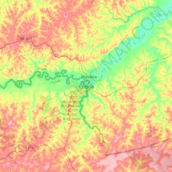
Name: Cobija topographic map, elevation, terrain.
Location: Cobija, Provincia Nicolás Suárez, Pando, Bolivia (-11.17846 -68.91381 -10.85846 -68.59381)
Average elevation: 774 ft
Minimum elevation: 568 ft
Maximum elevation: 974 ft
Other topographic maps
Click on a map to view its topography, its elevation and its terrain.
