
Jamieson topographic map
Click on the map to display elevation.
About this map
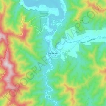
Name: Jamieson topographic map, elevation, terrain.
Location: Jamieson, Mt Buller Mt Stirling, Hume, Victoria, Australia (-37.34289 146.09754 -37.26289 146.17754)
Average elevation: 1,634 ft
Minimum elevation: 886 ft
Maximum elevation: 3,304 ft