
Thank you for supporting this site ❤️
Make a donation
Make a donation
Gear up for your next adventure:
As an Amazon Associate, this site earns from qualifying purchases at no extra cost to you.
Westdorp topographic map
Click on the map to display elevation.
Thank you for supporting this site ❤️
Make a donation
Make a donation
Gear up for your next adventure:
As an Amazon Associate, this site earns from qualifying purchases at no extra cost to you.
About this map
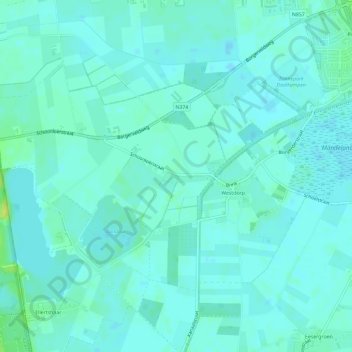
Name: Westdorp topographic map, elevation, terrain.
Location: Westdorp, Borger-Odoorn, Drenthe, Nederland (52.89443 6.72729 52.91751 6.78559)
Average elevation: 49 ft
Minimum elevation: 36 ft
Maximum elevation: 95 ft
Thank you for supporting this site ❤️
Make a donation
Make a donation
Gear up for your next adventure:
As an Amazon Associate, this site earns from qualifying purchases at no extra cost to you.