
Make a donation
Gear up for your next adventure:
As an Amazon Associate, this site earns from qualifying purchases at no extra cost to you.
O'Brien topographic map
Click on the map to display elevation.
Make a donation
Gear up for your next adventure:
As an Amazon Associate, this site earns from qualifying purchases at no extra cost to you.
About this map
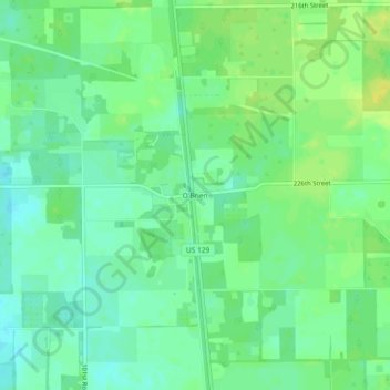
Name: O'Brien topographic map, elevation, terrain.
Location: O'Brien, Suwannee County, Florida, 32071, United States (30.01828 -82.96013 30.05828 -82.92013)
Average elevation: 62 ft
Minimum elevation: 33 ft
Maximum elevation: 98 ft
Suwannee County trails, hiking, mountain biking, running and outdoor activities
Make a donation
Gear up for your next adventure:
As an Amazon Associate, this site earns from qualifying purchases at no extra cost to you.
Other topographic maps
Click on a map to view its topography, its elevation and its terrain.
Wes Skiles Peacock Springs State Park
United States > Florida > Suwannee County > Live Oak
Average elevation: 66 ft