
Thank you for supporting this site ❤️
Make a donation
Make a donation
Gear up for your next adventure:
As an Amazon Associate, this site earns from qualifying purchases at no extra cost to you.
Berk topographic map
Click on the map to display elevation.
Thank you for supporting this site ❤️
Make a donation
Make a donation
Gear up for your next adventure:
As an Amazon Associate, this site earns from qualifying purchases at no extra cost to you.
About this map
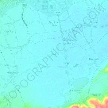
Name: Berk topographic map, elevation, terrain.
Location: Berk, Bolu, Schwarzmeerregion, 14100, Türkei (40.68340 31.59226 40.72340 31.63226)
Average elevation: 2,346 ft
Minimum elevation: 2,306 ft
Maximum elevation: 2,677 ft
Thank you for supporting this site ❤️
Make a donation
Make a donation
Gear up for your next adventure:
As an Amazon Associate, this site earns from qualifying purchases at no extra cost to you.