
Thank you for supporting this site ❤️
Make a donation
Make a donation
Gear up for your next adventure:
As an Amazon Associate, this site earns from qualifying purchases at no extra cost to you.
Sebaldeburen topographic map
Click on the map to display elevation.
Thank you for supporting this site ❤️
Make a donation
Make a donation
Gear up for your next adventure:
As an Amazon Associate, this site earns from qualifying purchases at no extra cost to you.
About this map
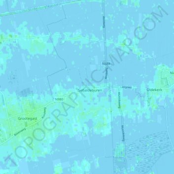
Name: Sebaldeburen topographic map, elevation, terrain.
Location: Sebaldeburen, Westerkwartier, Groningue, Pays-Bas (53.19431 6.27911 53.24794 6.31854)
Average elevation: 0 ft
Minimum elevation: -10 ft
Maximum elevation: 16 ft
Thank you for supporting this site ❤️
Make a donation
Make a donation
Gear up for your next adventure:
As an Amazon Associate, this site earns from qualifying purchases at no extra cost to you.