
Make a donation
Gear up for your next adventure:
As an Amazon Associate, this site earns from qualifying purchases at no extra cost to you.
dessert topographic map
Click on the map to display elevation.
Make a donation
Gear up for your next adventure:
As an Amazon Associate, this site earns from qualifying purchases at no extra cost to you.
About this map
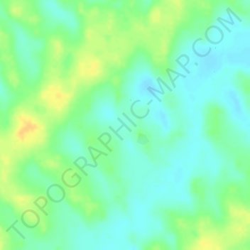
Name: dessert topographic map, elevation, terrain.
Location: dessert, Mirriah, Zinder, Niger (14.19697 9.41887 14.19707 9.41897)
Average elevation: 1,545 ft
Minimum elevation: 1,503 ft
Maximum elevation: 1,598 ft
Make a donation
Gear up for your next adventure:
As an Amazon Associate, this site earns from qualifying purchases at no extra cost to you.
Other topographic maps
Click on a map to view its topography, its elevation and its terrain.
Niamey
The Niger River is the sole source of Niamey's water supply. Increased use resulted in a decline in the river's water quality in the late 20th century. Unlike most of Niger, Niamey has a central water supply, so the resource is sold as a commodity. According to official sources, pipes serve about 65% of…
Average elevation: 738 ft
Make a donation
Gear up for your next adventure:
As an Amazon Associate, this site earns from qualifying purchases at no extra cost to you.
Make a donation
Gear up for your next adventure:
As an Amazon Associate, this site earns from qualifying purchases at no extra cost to you.
Mirriah
Mirriah is located in the Sahel region, around 20 kilometres from the regional capital of Zinder. Mirriah's neighbouring municipalities are Gaffati to the north-west, Zermou to the north-east, Hamdara to the east, Wacha to the south-east, Gouna to the south-west and Kolléram to the west. The municipality lies…
Average elevation: 1,339 ft
Make a donation
Gear up for your next adventure:
As an Amazon Associate, this site earns from qualifying purchases at no extra cost to you.