
Area D (Endako/Fort Fraser) topographic map
Interactive map
Click on the map to display elevation.
About this map
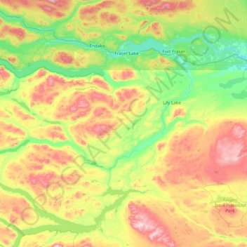
Name: Area D (Endako/Fort Fraser) topographic map, elevation, terrain.
Average elevation: 3,140 ft
Minimum elevation: 2,106 ft
Maximum elevation: 5,400 ft