
Thank you for supporting this site ❤️
Make a donation
Make a donation
Gear up for your next adventure:
As an Amazon Associate, this site earns from qualifying purchases at no extra cost to you.
Torbole topographic map
Click on the map to display elevation.
Thank you for supporting this site ❤️
Make a donation
Make a donation
Gear up for your next adventure:
As an Amazon Associate, this site earns from qualifying purchases at no extra cost to you.
About this map
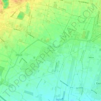
Name: Torbole topographic map, elevation, terrain.
Location: Torbole, Torbole Casaglia, Brescia, Lombardei, 25030, Italien (45.49258 10.09547 45.53258 10.13547)
Average elevation: 377 ft
Minimum elevation: 331 ft
Maximum elevation: 436 ft
Thank you for supporting this site ❤️
Make a donation
Make a donation
Gear up for your next adventure:
As an Amazon Associate, this site earns from qualifying purchases at no extra cost to you.