
Tortolita topographic map
Interactive map
Click on the map to display elevation.
About this map
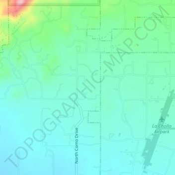
Name: Tortolita topographic map, elevation, terrain.
Location: Tortolita, Oro Valley, Pima County, Arizona, United States (32.44903 -111.01693 32.46026 -111.01258)
Average elevation: 2,959 ft
Minimum elevation: 2,835 ft
Maximum elevation: 3,451 ft
Other topographic maps
Click on a map to view its topography, its elevation and its terrain.
Oro Valley
United States > Arizona > Pima County > Oro Valley
Oro Valley, Pima County, Arizona, 85737, United States
Average elevation: 2,867 ft