
Thank you for supporting this site ❤️
Make a donation
Make a donation
Gear up for your next adventure:
As an Amazon Associate, this site earns from qualifying purchases at no extra cost to you.
Sukaasih topographic map
Click on the map to display elevation.
Thank you for supporting this site ❤️
Make a donation
Make a donation
Gear up for your next adventure:
As an Amazon Associate, this site earns from qualifying purchases at no extra cost to you.
About this map
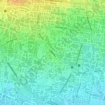
Name: Sukaasih topographic map, elevation, terrain.
Location: Sukaasih, Bojongloa Kaler, Bandung, West Java, Indonesia (-6.93906 107.58420 -6.92590 107.59515)
Average elevation: 2,297 ft
Minimum elevation: 2,247 ft
Maximum elevation: 2,375 ft
Thank you for supporting this site ❤️
Make a donation
Make a donation
Gear up for your next adventure:
As an Amazon Associate, this site earns from qualifying purchases at no extra cost to you.