Geolocate

Mercedes topographic map

Click on the map to display elevation.

About this map

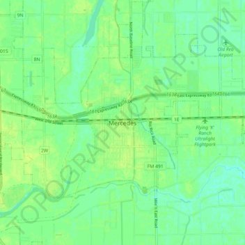
Name: Mercedes topographic map, elevation, terrain.

Location: Mercedes, Hidalgo County, Texas, 78570, United States (26.10980 -97.95361 26.18980 -97.87361)

Average elevation: 69 ft

Minimum elevation: 46 ft

Maximum elevation: 85 ft

Gear up for your next adventure:

🏕️Tent Footprint - Protect your tent base from wear
🗺️NatGeo Topo Maps - High-quality waterproof printed topographic maps of US Parks
🎒Trail Energy Bars - High‑calorie bars for hiking energy
🌎3D Topographic Globes - Raised relief globes for a tactile understanding of geography
🪶Wildlife Field Guides - Learn animal tracking and species ID

As an Amazon Associate, this site earns from qualifying purchases at no extra cost to you.