
Thank you for supporting this site ❤️
Make a donation
Make a donation
Gear up for your next adventure:
As an Amazon Associate, this site earns from qualifying purchases at no extra cost to you.
Cancarix topographic map
Click on the map to display elevation.
Thank you for supporting this site ❤️
Make a donation
Make a donation
Gear up for your next adventure:
As an Amazon Associate, this site earns from qualifying purchases at no extra cost to you.
About this map
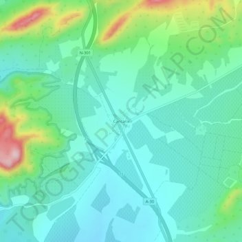
Name: Cancarix topographic map, elevation, terrain.
Location: Cancarix, Hellín, Albacete, Castilla-La Mancha, España (38.40166 -1.58991 38.44166 -1.54991)
Average elevation: 1,631 ft
Minimum elevation: 1,411 ft
Maximum elevation: 2,329 ft
Thank you for supporting this site ❤️
Make a donation
Make a donation
Gear up for your next adventure:
As an Amazon Associate, this site earns from qualifying purchases at no extra cost to you.