Geolocate

Lake Graham topographic map

Click on the map to display elevation.

About this map

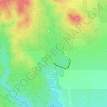
Name: Lake Graham topographic map, elevation, terrain.

Location: Lake Graham, Briscoe County, Texas, United States (34.36295 -101.13107 34.36990 -101.12533)

Average elevation: 2,759 ft

Minimum elevation: 2,631 ft

Maximum elevation: 2,949 ft

Briscoe County trails, hiking, mountain biking, running and outdoor activities

Other topographic maps

Click on a map to view its topography, its elevation and its terrain.

Gasoline

United States > Texas > Briscoe County

Average elevation: 2,490 ft

Gear up for your next adventure:

🔦Powerful Headlamps - Ultra-bright hands-free lighting for night navigation
🪶Wildlife Field Guides - Learn animal tracking and species ID
🪶LED Camping Lantern - Bright lantern for camp lighting
🕶️GPS Smartphone Mount - Secure mount for phone navigation
🛰️Handheld GPS Units - Professional satellite navigators for precise backcountry mapping

As an Amazon Associate, this site earns from qualifying purchases at no extra cost to you.