
锁南镇 topographic map
Interactive map
Click on the map to display elevation.
About this map
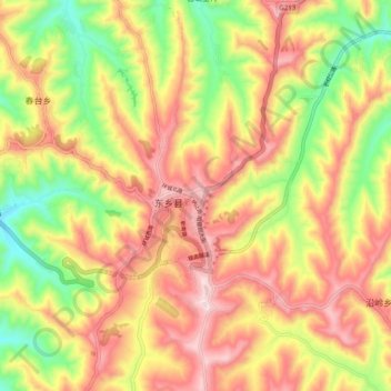
Name: 锁南镇 topographic map, elevation, terrain.
Location: 锁南镇, 东乡族自治县, 临夏回族自治州, 甘肃省, 中国 (35.62501 103.35266 35.70501 103.43266)
Average elevation: 7,405 ft
Minimum elevation: 6,608 ft
Maximum elevation: 8,107 ft
Other topographic maps
Click on a map to view its topography, its elevation and its terrain.