
Kampung Tebing Tinggi topographic map
Interactive map
Click on the map to display elevation.
About this map
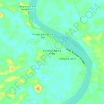
Name: Kampung Tebing Tinggi topographic map, elevation, terrain.
Location: Kampung Tebing Tinggi, Temerloh, Pahang, Malaysia (3.37169 102.40429 3.41169 102.44429)
Average elevation: 118 ft
Minimum elevation: 79 ft
Maximum elevation: 207 ft
Other topographic maps
Click on a map to view its topography, its elevation and its terrain.