
Benton topographic map
Interactive map
Click on the map to display elevation.
About this map
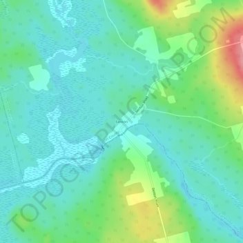
Name: Benton topographic map, elevation, terrain.
Average elevation: 463 ft
Minimum elevation: 377 ft
Maximum elevation: 702 ft
Other topographic maps
Click on a map to view its topography, its elevation and its terrain.
Woodstock
Canada > New Brunswick > Woodstock Parish
Woodstock, Woodstock Parish, Carleton County, New Brunswick, Canada
Average elevation: 312 ft