Geolocate

Fuwa topographic map

Click on the map to display elevation.

About this map

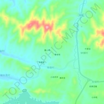
Name: Fuwa topographic map, elevation, terrain.

Location: Fuwa, Duntangcun, Shangcheng County, Xinyang, Henan, China (31.79369 115.21460 31.83369 115.25460)

Average elevation: 466 ft

Minimum elevation: 308 ft

Maximum elevation: 876 ft

Gear up for your next adventure:

🪶Thermal Camp Blanket - Extra warmth for cold nights
🪓Survival Multi‑Tool - Versatile tool for camp and trail tasks
📚Navigation Handbooks - Master the art of reading topographic maps and using a compass
🧭Hiking Compass - Precision compass for reliable navigation in the wilderness
🏥Hiking First Aid Kits - Comprehensive medical kits for remote trail injuries

As an Amazon Associate, this site earns from qualifying purchases at no extra cost to you.