
Thank you for supporting this site ❤️
Make a donation
Make a donation
Gear up for your next adventure:
As an Amazon Associate, this site earns from qualifying purchases at no extra cost to you.
Navelgas topographic map
Click on the map to display elevation.
Thank you for supporting this site ❤️
Make a donation
Make a donation
Gear up for your next adventure:
As an Amazon Associate, this site earns from qualifying purchases at no extra cost to you.
About this map
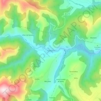
Name: Navelgas topographic map, elevation, terrain.
Location: Navelgas, Tineo, Asturies, 33873, Espagne (43.38389 -6.56286 43.42389 -6.52286)
Average elevation: 1,266 ft
Minimum elevation: 646 ft
Maximum elevation: 2,451 ft
Thank you for supporting this site ❤️
Make a donation
Make a donation
Gear up for your next adventure:
As an Amazon Associate, this site earns from qualifying purchases at no extra cost to you.