Geolocate

Labi topographic map

Click on the map to display elevation.

About this map

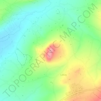
Name: Labi topographic map, elevation, terrain.

Location: Labi, Labay, Mbulu, Manyara Region, Northern Zone, Tanzania (-4.09867 35.18047 -4.09857 35.18057)

Average elevation: 6,214 ft

Minimum elevation: 6,047 ft

Maximum elevation: 6,470 ft

Gear up for your next adventure:

📌Outdoor GPS Map App - Apps and devices for digital topographic navigation
🌡️Handheld Weather Meters - Measure wind, temp, and pressure for safe mountain travel
🌡️Portable Weather Meter - Track weather conditions on the trail
🪶Trail Camera - Capture wildlife on your hikes
🗺️NatGeo Topo Maps - High-quality waterproof printed topographic maps of US Parks

As an Amazon Associate, this site earns from qualifying purchases at no extra cost to you.