
Thank you for supporting this site ❤️
Make a donation
Make a donation
Gear up for your next adventure:
As an Amazon Associate, this site earns from qualifying purchases at no extra cost to you.
Beckwith topographic map
Click on the map to display elevation.
Thank you for supporting this site ❤️
Make a donation
Make a donation
Gear up for your next adventure:
As an Amazon Associate, this site earns from qualifying purchases at no extra cost to you.
About this map
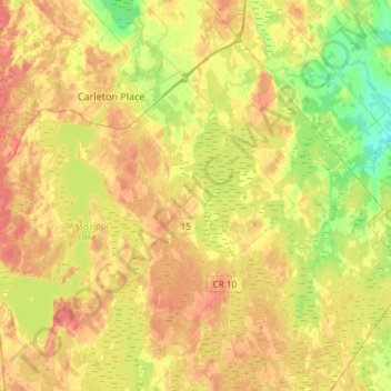
Name: Beckwith topographic map, elevation, terrain.
Location: Beckwith, Lanark County, Eastern Ontario, Ontario, Canada (44.98309 -76.22313 45.19159 -75.94102)
Average elevation: 443 ft
Minimum elevation: 354 ft
Maximum elevation: 515 ft
Thank you for supporting this site ❤️
Make a donation
Make a donation
Gear up for your next adventure:
As an Amazon Associate, this site earns from qualifying purchases at no extra cost to you.