Geolocate

Healdsburg topographic map

Click on the map to display elevation.

About this map

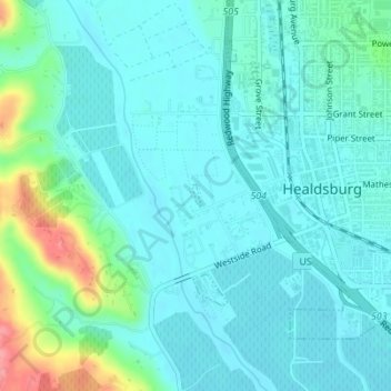
Name: Healdsburg topographic map, elevation, terrain.

Location: Healdsburg, Sonoma County, California, USA (38.60941 -122.88162 38.61097 -122.88086)

Average elevation: 141 ft

Minimum elevation: 79 ft

Maximum elevation: 387 ft

Gear up for your next adventure:

📖Nature Tracking Books - Learn to track wildlife and terrain
❄️Traction Cleats - Prevent slips on icy trails during winter hikes
🦶Hiking Gaiters - Keep debris and water out of your boots
📚Navigation Handbooks - Master the art of reading topographic maps and using a compass
🥾Women's Hiking Boots - Top-rated trail boots with ankle support and superior grip

As an Amazon Associate, this site earns from qualifying purchases at no extra cost to you.