Geolocate

Tagong topographic map

Click on the map to display elevation.

Tagong

A gompa is where the Tagong Monastery is located. The gompa is one of the most important in the in Tibetan Pel Lhagong. The Tagong Monastery was established with reference to a nearby sacred mountain, Mt. Yala or Zhara Lhaste, which is 5,820 metres (19,090 ft) in elevation.

Wikipedia (CC-BY-SA 3.0)

About this map

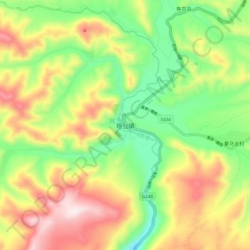
Name: Tagong topographic map, elevation, terrain.

Location: Tagong, Kangding, Kardze, Sichuan, 626000, China (30.28022 101.48130 30.36022 101.56130)

Average elevation: 12,710 ft

Minimum elevation: 11,896 ft

Maximum elevation: 13,740 ft

Other topographic maps

Click on a map to view its topography, its elevation and its terrain.

贡巴冰川

China > Sichuan > Kangding

Average elevation: 17,635 ft

康定跑马山风景区

China > Sichuan > Kangding > Jingangsi

Average elevation: 9,199 ft

Gear up for your next adventure:

🪶LED Camping Lantern - Bright lantern for camp lighting
🛰️Handheld GPS Units - Professional satellite navigators for precise backcountry mapping
🔭Stargazing Telescopes - Perfect for camping in low-light pollution areas shown on maps
🔭Compact Binoculars - HD vision for scouting terrain and identifying distant landmarks
🪶Multi‑Purpose Knife - Useful blade for camp and trail

As an Amazon Associate, this site earns from qualifying purchases at no extra cost to you.