
Crane topographic map
Interactive map
Click on the map to display elevation.
About this map
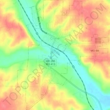
Name: Crane topographic map, elevation, terrain.
Location: Crane, Stone County, Missouri, United States (36.88636 -93.58404 36.91544 -93.55394)
Average elevation: 1,214 ft
Minimum elevation: 1,086 ft
Maximum elevation: 1,316 ft
Stone County trails, hiking, mountain biking, running and outdoor activities
Other topographic maps
Click on a map to view its topography, its elevation and its terrain.