
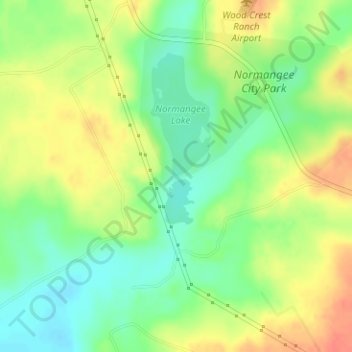
Normangee Dam topographic map
Interactive map
Click on the map to display elevation.
About this map
Name: Normangee Dam topographic map, elevation, terrain.
Location: Normangee Dam, Leon County, Texas, 77871, United States (31.02808 -96.20826 31.02818 -96.20816)
Average elevation: 341 ft
Minimum elevation: 266 ft
Maximum elevation: 423 ft
Leon County trails, hiking, mountain biking, running and outdoor activities
Other topographic maps
Click on a map to view its topography, its elevation and its terrain.