
Rounds Place topographic map
Interactive map
Click on the map to display elevation.
About this map
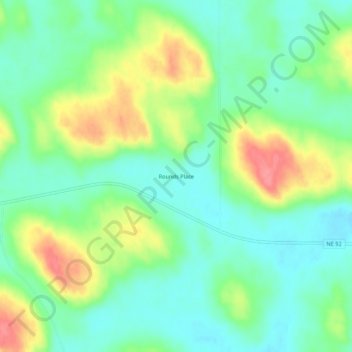
Name: Rounds Place topographic map, elevation, terrain.
Location: Rounds Place, Arthur County, Nebraska, United States (41.58110 -101.62601 41.62110 -101.58601)
Average elevation: 3,665 ft
Minimum elevation: 3,570 ft
Maximum elevation: 3,835 ft