Geolocate

Pathar topographic map

Click on the map to display elevation.

About this map

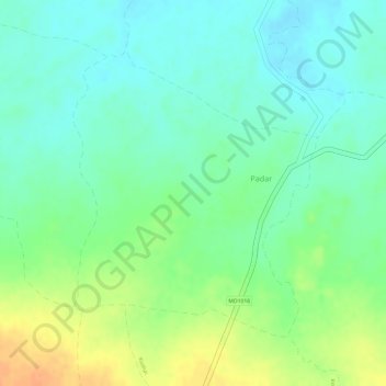
Name: Pathar topographic map, elevation, terrain.

Location: Pathar, Padar, Mauganj Tahsil, Mauganj, Madhya Pradesh, India (24.61340 81.80684 24.63348 81.82569)

Average elevation: 1,165 ft

Minimum elevation: 1,112 ft

Maximum elevation: 1,240 ft

Gear up for your next adventure:

🖼️Topo Map Wall Art - Decorative topographic prints of famous peaks and regions
⛑️Personal Locator Beacon - Safety beacon for emergencies
❄️Traction Cleats - Prevent slips on icy trails during winter hikes
🏕️Tent Footprint - Protect your tent base from wear
🗺️NatGeo Topo Maps - High-quality waterproof printed topographic maps of US Parks

As an Amazon Associate, this site earns from qualifying purchases at no extra cost to you.