
Thank you for supporting this site ❤️
Make a donation
Make a donation
Gear up for your next adventure:
As an Amazon Associate, this site earns from qualifying purchases at no extra cost to you.
Bourbonnais topographic map
Click on the map to display elevation.
Thank you for supporting this site ❤️
Make a donation
Make a donation
Gear up for your next adventure:
As an Amazon Associate, this site earns from qualifying purchases at no extra cost to you.
About this map
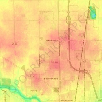
Name: Bourbonnais topographic map, elevation, terrain.
Location: Bourbonnais, Kankakee County, Illinois, 60914, United States (41.14681 -87.91138 41.22138 -87.84895)
Average elevation: 676 ft
Minimum elevation: 548 ft
Maximum elevation: 722 ft
Kankakee County trails, hiking, mountain biking, running and outdoor activities
Thank you for supporting this site ❤️
Make a donation
Make a donation
Gear up for your next adventure:
As an Amazon Associate, this site earns from qualifying purchases at no extra cost to you.