
Thank you for supporting this site ❤️
Make a donation
Make a donation
Gear up for your next adventure:
As an Amazon Associate, this site earns from qualifying purchases at no extra cost to you.
Burban topographic map
Click on the map to display elevation.
Thank you for supporting this site ❤️
Make a donation
Make a donation
Gear up for your next adventure:
As an Amazon Associate, this site earns from qualifying purchases at no extra cost to you.
About this map
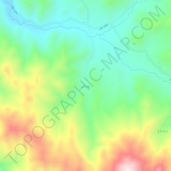
Name: Burban topographic map, elevation, terrain.
Location: Burban, بخش مرکزی, Sanandaj County, Kurdistan Province, Iran (35.10230 47.01720 35.14230 47.05720)
Average elevation: 5,584 ft
Minimum elevation: 4,829 ft
Maximum elevation: 6,906 ft
Thank you for supporting this site ❤️
Make a donation
Make a donation
Gear up for your next adventure:
As an Amazon Associate, this site earns from qualifying purchases at no extra cost to you.