
Pfullendorf topographic map
Interactive map
Click on the map to display elevation.
Pfullendorf
Die Stadt Pfullendorf liegt in topographischer Hanglage, rund 20 Kilometer nördlich des Bodensees im hügeligen Gelände des Linzgaus.
About this map
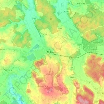
Name: Pfullendorf topographic map, elevation, terrain.
Average elevation: 2,149 ft
Minimum elevation: 1,916 ft
Maximum elevation: 2,448 ft