Geolocate

Chainpur topographic map

Click on the map to display elevation.

About this map

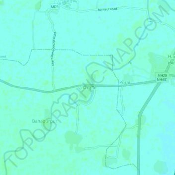
Name: Chainpur topographic map, elevation, terrain.

Location: Chainpur, Chandi, Nalanda, Bihar, 803110, India (25.34492 85.49197 25.38492 85.53197)

Average elevation: 154 ft

Minimum elevation: 144 ft

Maximum elevation: 164 ft

Gear up for your next adventure:

🪶Survival Guide Book - Expert advice for emergency preparedness
🏔️Mountain Trail Maps - High‑detail maps for popular peaks
📱Heavy-Duty Phone Cases - Drop-proof and waterproof protection for outdoor navigation
🛠️Backpacking Tool Kit - Essential toolkit for outdoor repairs
🧼Biodegradable Camping Soap - Eco‑friendly soap for outdoor hygiene

As an Amazon Associate, this site earns from qualifying purchases at no extra cost to you.