Geolocate

Rann of Kutch topographic map

Interactive map

Click on the map to display elevation.

About this map

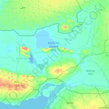
Name: Rann of Kutch topographic map, elevation, terrain.

Location: Rann of Kutch, Kachchh, Gujarat, India (23.09523 69.00764 24.48586 71.39424)

Average elevation: 102 ft

Minimum elevation: -16 ft

Maximum elevation: 1,417 ft

Other topographic maps

Click on a map to view its topography, its elevation and its terrain.

Padhar

India > Kachchh > Padhar

Padhar, Bhuj Taluka, Kachchh, Gujarat, 370105, India

Average elevation: 384 ft

Kabrau

India > Kachchh > Kabrau

Kabrau, Bhachau Taluka, Kachchh, Gujarat, 370140, India

Average elevation: 128 ft

Ravapar Navavas

India > Kachchh > Ravapar Navavas

Ravapar Navavas, Nakhatrana Taluka, Kachchh, Gujarat, 370625, India

Average elevation: 305 ft

Bharudiya

India > Kachchh > Bharudiya

Bharudiya, Mundra Taluka, Kachchh, Gujarat, 370410, India

Average elevation: 72 ft