
Ibon de Estanés topographic map
Interactive map
Click on the map to display elevation.
About this map
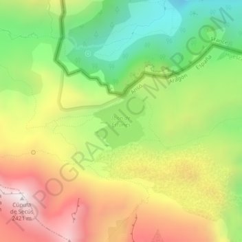
Name: Ibon de Estanés topographic map, elevation, terrain.
Average elevation: 5,978 ft
Minimum elevation: 4,350 ft
Maximum elevation: 7,844 ft
Other topographic maps
Click on a map to view its topography, its elevation and its terrain.