Geolocate

Distrito 11 topographic map

Click on the map to display elevation.

About this map

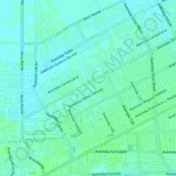
Name: Distrito 11 topographic map, elevation, terrain.

Location: Distrito 11, Cancún, Benito Juárez, Quintana Roo, Mexico (21.13193 -86.91951 21.19158 -86.87045)

Average elevation: 26 ft

Minimum elevation: 16 ft

Maximum elevation: 43 ft

Other topographic maps

Click on a map to view its topography, its elevation and its terrain.

Lagos del Sol

Mexico > Quintana Roo > Cancún

Average elevation: 13 ft

Gear up for your next adventure:

🕶️Glacier Sunglasses - Side shields to protect eyes from high-altitude snow glare
🪶Survival Guide Book - Expert advice for emergency preparedness
🔭Telescopic Hiking Pole - Adjustable pole for hiking stability
❄️Traction Cleats - Prevent slips on icy trails during winter hikes
🪶Thermal Camp Blanket - Extra warmth for cold nights

As an Amazon Associate, this site earns from qualifying purchases at no extra cost to you.