
Montville topographic map
Click on the map to display elevation.
About this map
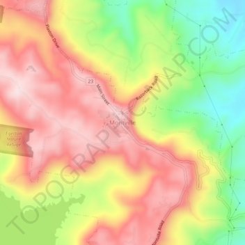
Name: Montville topographic map, elevation, terrain.
Location: Montville, Sunshine Coast Regional, Queensland, Australia (-26.70988 152.87328 -26.66988 152.91328)
Average elevation: 856 ft
Minimum elevation: 141 ft
Maximum elevation: 1,414 ft