
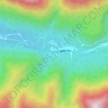
桑珍卡村 topographic map
Interactive map
Click on the map to display elevation.
About this map
Name: 桑珍卡村 topographic map, elevation, terrain.
Location: 桑珍卡村, 格当乡, 墨脱县, 林芝市, 西藏自治区, 中国 (29.41324 95.61454 29.45324 95.65454)
Average elevation: 7,175 ft
Minimum elevation: 5,764 ft
Maximum elevation: 9,911 ft
Other topographic maps
Click on a map to view its topography, its elevation and its terrain.