
Gjerdrum topographic map
Click on the map to display elevation.
Gjerdrum
Gjerdrum lies on the southwestern part of the Romerike Plain (Romerikssletta); this eastern part of the municipality lies at a low altitude and is covered by significant layers of clay that was deposited, towards the end of the previous ice age.
About this map
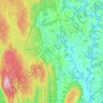
Name: Gjerdrum topographic map, elevation, terrain.
Location: Gjerdrum, Viken, 2022, Norway (60.02853 10.91114 60.12900 11.11614)
Average elevation: 699 ft
Minimum elevation: 341 ft
Maximum elevation: 1,467 ft