
Thank you for supporting this site ❤️
Make a donation
Make a donation
Gear up for your next adventure:
As an Amazon Associate, this site earns from qualifying purchases at no extra cost to you.
Prelo topographic map
Click on the map to display elevation.
Thank you for supporting this site ❤️
Make a donation
Make a donation
Gear up for your next adventure:
As an Amazon Associate, this site earns from qualifying purchases at no extra cost to you.
About this map
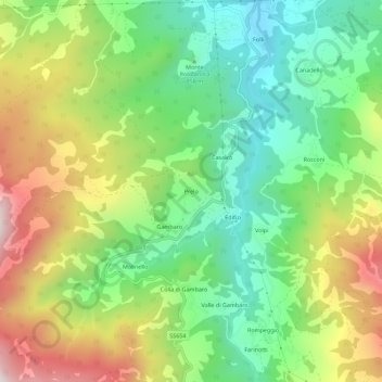
Name: Prelo topographic map, elevation, terrain.
Location: Prelo, Ferriere, Piacenza, Emilia-Romagna, 29024, Italia (44.59857 9.46530 44.63857 9.50530)
Average elevation: 3,100 ft
Minimum elevation: 2,103 ft
Maximum elevation: 4,633 ft
Thank you for supporting this site ❤️
Make a donation
Make a donation
Gear up for your next adventure:
As an Amazon Associate, this site earns from qualifying purchases at no extra cost to you.