
Wapanucka topographic map
Interactive map
Click on the map to display elevation.
About this map
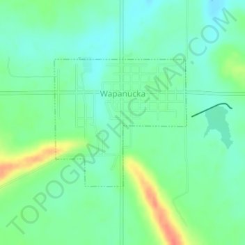
Name: Wapanucka topographic map, elevation, terrain.
Location: Wapanucka, Johnston County, Oklahoma, United States (34.36463 -96.43350 34.37863 -96.41582)
Average elevation: 640 ft
Minimum elevation: 587 ft
Maximum elevation: 751 ft
Other topographic maps
Click on a map to view its topography, its elevation and its terrain.
Troy
United States > Oklahoma > Johnston County
Troy, Johnston County, Oklahoma, United States
Average elevation: 915 ft
Coleman
United States > Oklahoma > Johnston County
Coleman, Johnston County, Oklahoma, 73432, United States
Average elevation: 761 ft
Tishomingo
United States > Oklahoma > Johnston County
Tishomingo, Johnston County, Oklahoma, 73460, United States
Average elevation: 702 ft