
Thank you for supporting this site ❤️
Make a donation
Make a donation
Gear up for your next adventure:
As an Amazon Associate, this site earns from qualifying purchases at no extra cost to you.
Bağlıca topographic map
Click on the map to display elevation.
Thank you for supporting this site ❤️
Make a donation
Make a donation
Gear up for your next adventure:
As an Amazon Associate, this site earns from qualifying purchases at no extra cost to you.
About this map
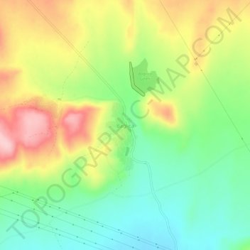
Name: Bağlıca topographic map, elevation, terrain.
Location: Bağlıca, Amasya, Black Sea Region, Turkey (40.58664 35.66509 40.62664 35.70509)
Average elevation: 1,709 ft
Minimum elevation: 1,447 ft
Maximum elevation: 2,067 ft
Thank you for supporting this site ❤️
Make a donation
Make a donation
Gear up for your next adventure:
As an Amazon Associate, this site earns from qualifying purchases at no extra cost to you.