
Make a donation
Gear up for your next adventure:
As an Amazon Associate, this site earns from qualifying purchases at no extra cost to you.
Goñi topographic map
Click on the map to display elevation.
Make a donation
Gear up for your next adventure:
As an Amazon Associate, this site earns from qualifying purchases at no extra cost to you.
Goñi
El clima de la zona es de tipo subatlántico y está muy condicionado por la altitud. La temperatura media anual está entre 6° y 10° C y el índice de precipitaciones anuales entre 1200 y 1400 mm. Al año se presentan entre 120 y 160 días lluviosos, estando estas presentes en todos los meses. El índice de evapotranspiración potencial está entre 550 y 600 mm.
Make a donation
Gear up for your next adventure:
As an Amazon Associate, this site earns from qualifying purchases at no extra cost to you.
About this map
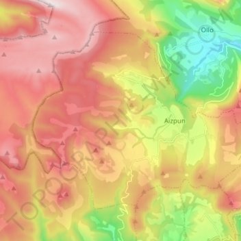
Name: Goñi topographic map, elevation, terrain.
Location: Goñi, Valles, España (42.79848 -1.94989 42.86652 -1.82416)
Average elevation: 2,943 ft
Minimum elevation: 1,421 ft
Maximum elevation: 4,370 ft
Make a donation
Gear up for your next adventure:
As an Amazon Associate, this site earns from qualifying purchases at no extra cost to you.