
Collette topographic map
Interactive map
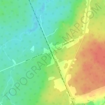
Click on the map to display elevation.
About this map
Name: Collette topographic map, elevation, terrain.
Average elevation: 194 ft
Minimum elevation: 121 ft
Maximum elevation: 279 ft
Other topographic maps
Click on a map to view its topography, its elevation and its terrain.
Barnaby River
Canada > New Brunswick > Rogersville Parish > Rogersville
Barnaby River, Rogersville, Rogersville Parish, Northumberland County, New Brunswick, Canada
Average elevation: 203 ft