Geolocate

Trerose topographic map

Click on the map to display elevation.

About this map

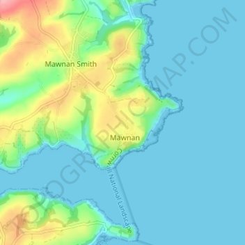
Name: Trerose topographic map, elevation, terrain.

Location: Trerose, Mawnan, Cornwall, England, TR11 5HX, United Kingdom (50.08727 -5.11628 50.12727 -5.07628)

Average elevation: 79 ft

Minimum elevation: 0 ft

Maximum elevation: 354 ft

Gear up for your next adventure:

🧥Men's Rain Shells - Premium waterproof and breathable jackets for mountain weather
🦶Carbon Trekking Poles - Reduce knee impact on steep descents with ultra-light poles
👓Polarized Sunglasses - Outdoor sunglasses for glare reduction
🌡️Portable Weather Meter - Track weather conditions on the trail
🏥Hiking First Aid Kits - Comprehensive medical kits for remote trail injuries

As an Amazon Associate, this site earns from qualifying purchases at no extra cost to you.