
Thank you for supporting this site ❤️
Make a donation
Make a donation
Gear up for your next adventure:
As an Amazon Associate, this site earns from qualifying purchases at no extra cost to you.
Tamesna topographic map
Click on the map to display elevation.
Thank you for supporting this site ❤️
Make a donation
Make a donation
Gear up for your next adventure:
As an Amazon Associate, this site earns from qualifying purchases at no extra cost to you.
About this map
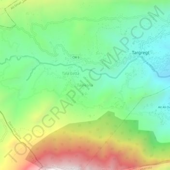
Name: Tamesna topographic map, elevation, terrain.
Location: Tamesna, Ait Smail, Darguina District, Bejaia, 06080, Algeria (36.51895 5.19321 36.55895 5.23321)
Average elevation: 3,251 ft
Minimum elevation: 1,686 ft
Maximum elevation: 6,050 ft
Thank you for supporting this site ❤️
Make a donation
Make a donation
Gear up for your next adventure:
As an Amazon Associate, this site earns from qualifying purchases at no extra cost to you.